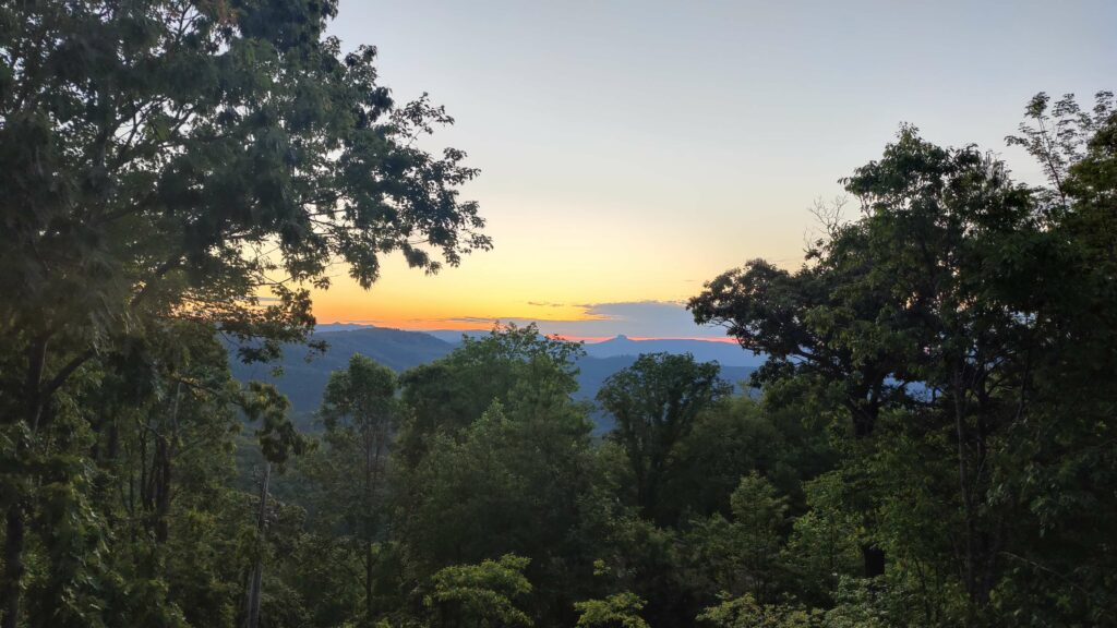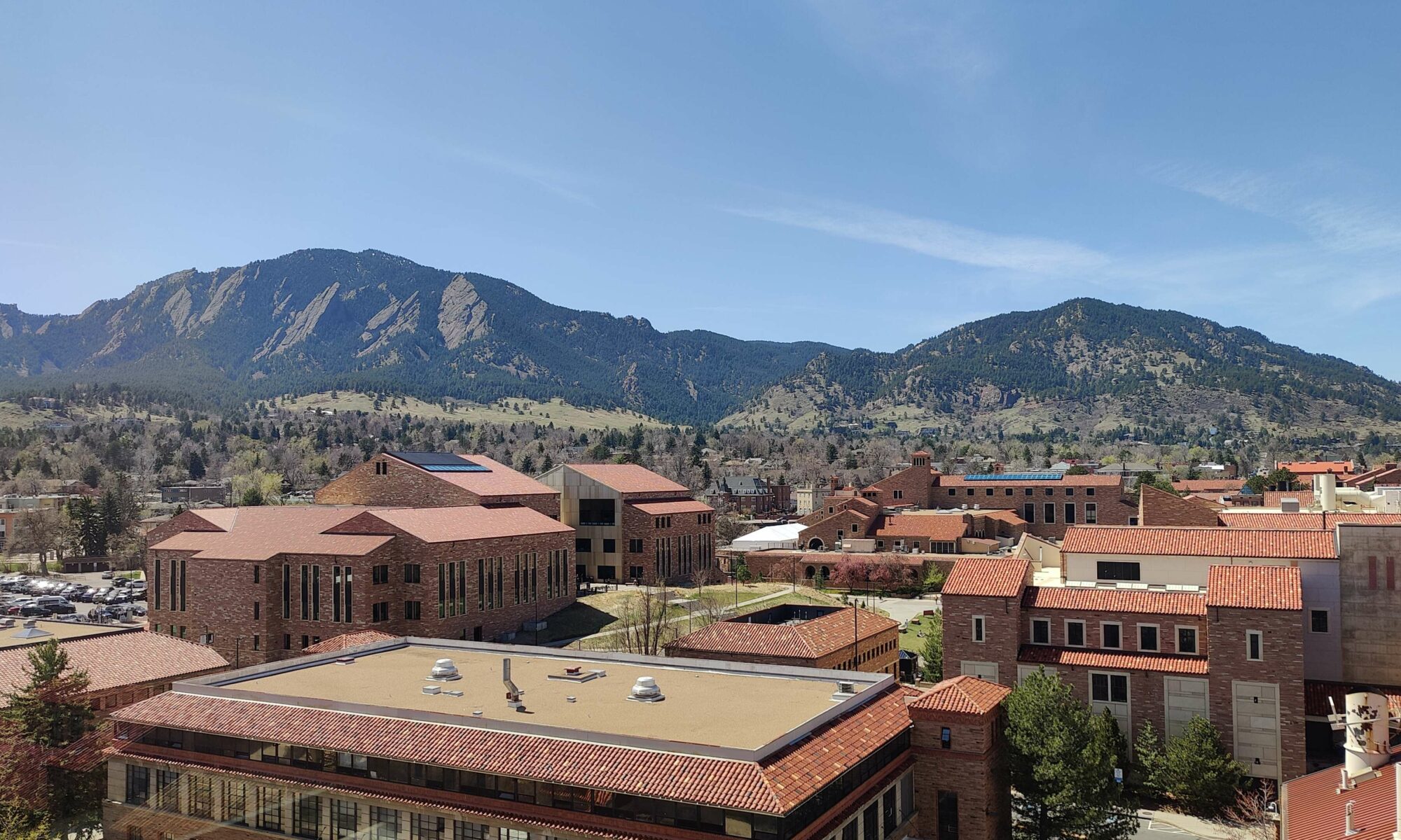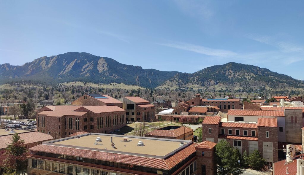
My father-in-law was visiting us in Colorado for the past couple week, and we decided to do what Anya and I have been threatening to do since we moved here: go on a road trip. Anya is the brains, while I’m the muscle (I’m the only one of the three of us who can legally drive in the USA). The trip is a week long, with something like three-four hours’ driving a day — short driving days by US standards, but still the most driving I’ve ever done. The trip should take us in a loop around the mountainous half of Colorado, with a little dip into Utah, and will pass through three national parks.
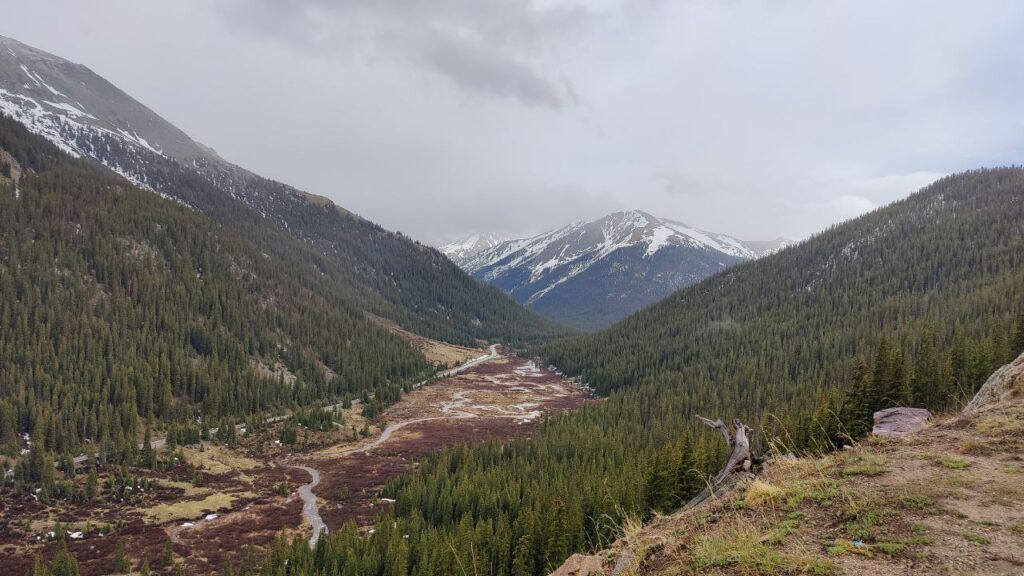
Day 1: Boulder to Aspen. This was the most mountainous part of the whole trip, driving between some of the highest peaks in Colorado, as well as many beautiful lakes and forests. We passed through three seasons — starting in autumn, with heavy grey clouds and bands of rain. Early on, the rain somewhat limited our enjoyment of photo stops, as well as the quality of the photos. But there was always a snow-capped mountain somewhere in the distance to look towards.
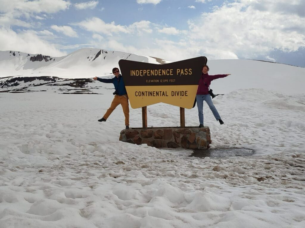
As we climbed higher, we started to leave the rain behind. The snow-caps got closer and closer. The highest part of the trip was Independence Pass, 3600m above sea level, which opened for the season only a few days before we crossed it. By the time we reached the top, the clouds were clearing up and the snow was no longer above but underfoot. This is part of the Continental Divide, a north-south ridge that forms the watershed between eastern and western US.
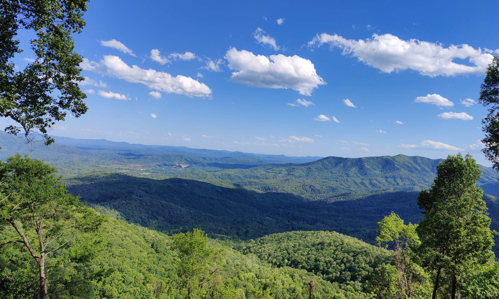
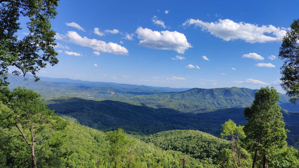
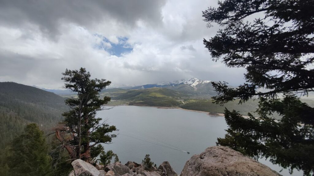
The views from the top were also pretty nice, looking down over the pine forests and moorland we’d driven up through.
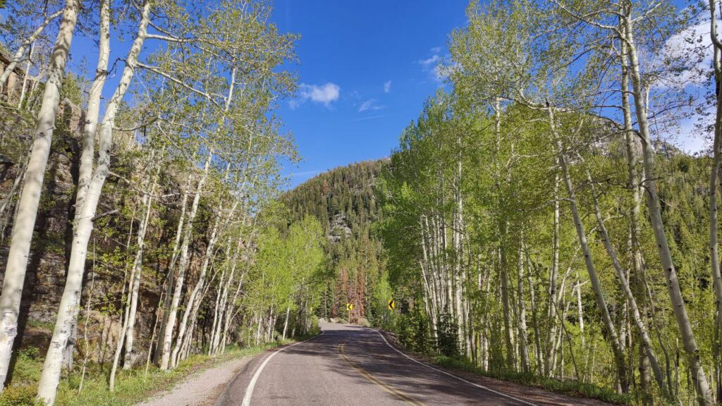
On the way back down we drove into a sunny spring day, surrounded by green-and-white aspen woodland. It was a welcome change from the rougher weather earlier in the day. Before long we came to the town, also called Aspen, where we would spend the night.
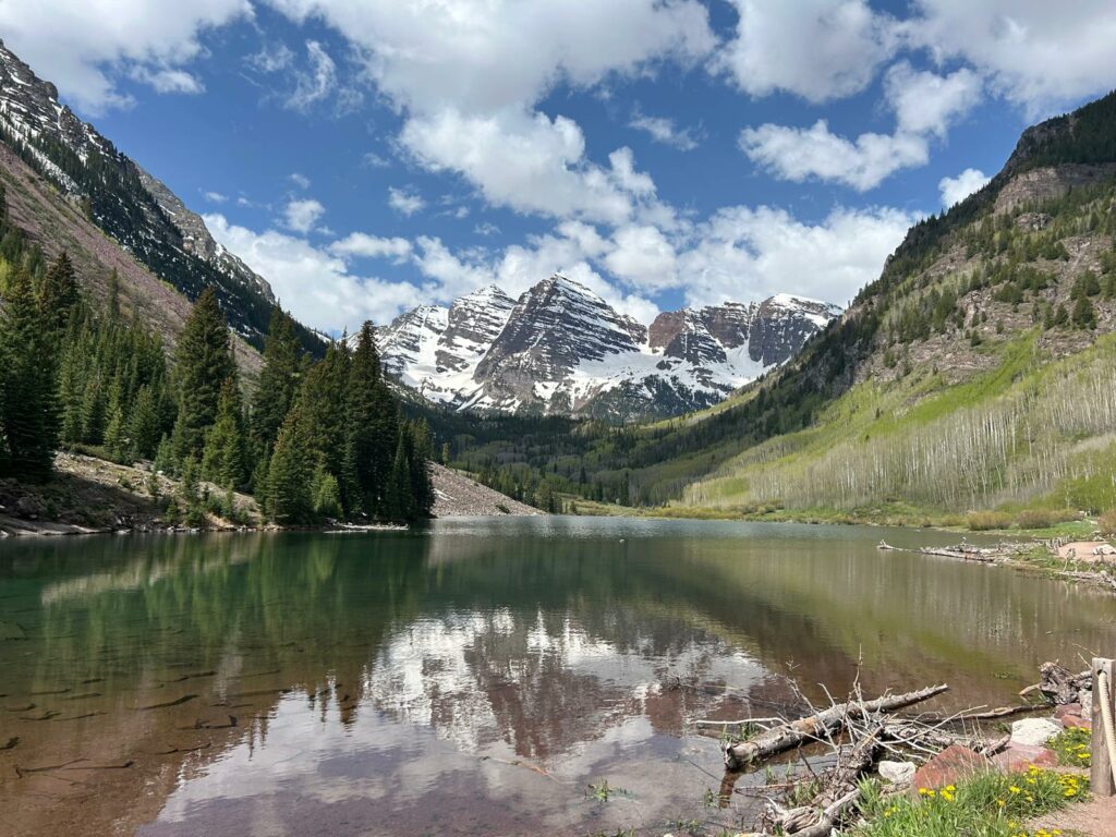
Day 2: Aspen to Montrose. The plan was to spend the morning visiting the Maroon Bells, one of Colorado’s most famous postcard views. I skipped out thanks to a bad nights sleep, while the other two took the shuttle bus there. They tell me that it was indeed beautiful.
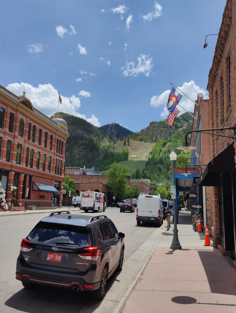
Meanwhile, I slept in as long as the hotel would allow me and spent the morning hanging around Aspen. Aspen is a nice-ish town, at least relative to the others that we saw on this trip — Colorado is famous for its beautiful nature, not its beautiful urban landscapes. Aspen was Colorado’s first ski resort and is demographically the richest town in the state. The town centre is pleasant — green, leafy, with a little stream running down the street — but very small. There isn’t really a lot to do there, the assumption I suppose being that tourists are going to spend the day in the mountains. Seeing the whole town only took 10 minutes, and then the best thing was to buy the most expensive crepe I’ve ever bought and sit and read a book until the others arrived.
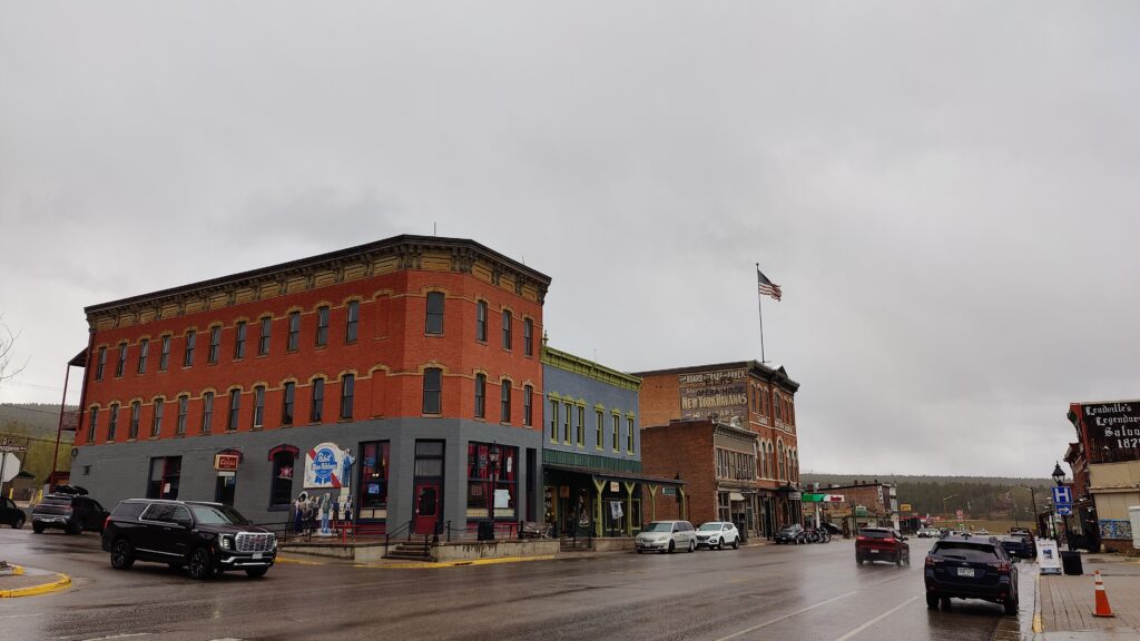
In the afternoon we went on to our next destination, Montrose. This continued our drive through the mountains. We passed a series of small towns, whose names show the history of the area: Leadville, Carbondale, Marble, Redstone, Silverton. Almost every town around here started out as a mining outpost in the late 1800s, as the Rockies turn out to be rich in many kinds of natural resources. Most of these towns were either partly or completely abandoned as the mining industry went through boom and bust cycles, and many are now growing again thanks to tourism (skiing, hiking).
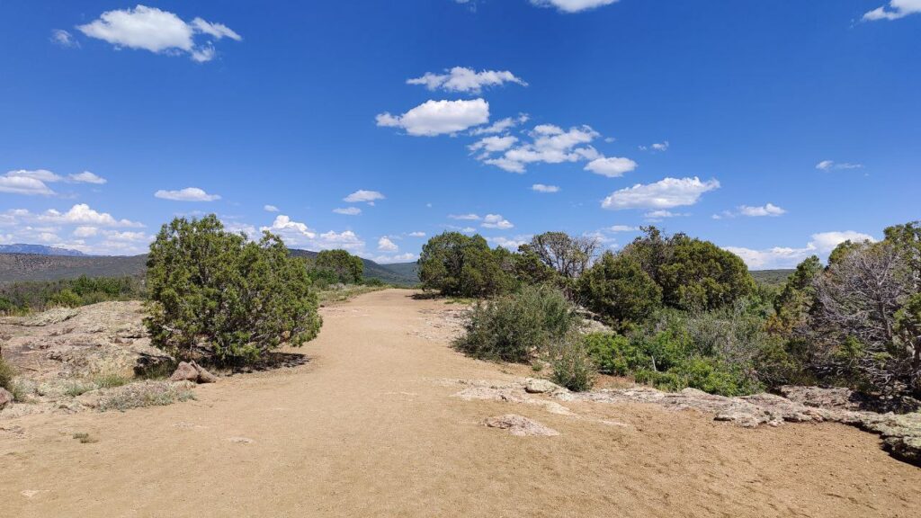
After some time, we left the mountains behind and were instead surrounded by rolling green hills. We passed a region of high, fertile plains around the town of Delta (so-called because it was once the floodplain of the Gunnison River). A bit further south, the green became brown and dusty, the climate more arid. What I’ve really appreciated throughout this trip is how varied are the landscapes that we’ve seen, and how quickly they change as you drive.
Eventually we arrived at the town of Montrose. This is, I would say, towards the worse end of what US towns seem to offer: the town is basically a five-lane road lined with fast-food joints and motels. The assumption is that you’ll drive everywhere. We defied local custom and walked across the road, where we ate at a little Mexican place (my father-in-law’s first Mexican food), and then slept in our motel.
Day 3: The Black Canyon of the Gunnison — the first national park of our trip. This is perhaps America’s second-most-famous canyon, a huge gully carved by the Gunnison river. It’s obviously not so big as the Grand Canyon, but it is pretty deep and very narrow, leading to some spectacular views.
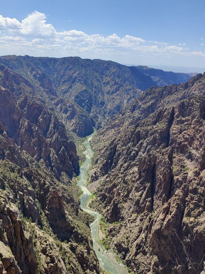
The walls of the canyon are black shot with zigzags of pink quartz, leading to a very striking appearance. The rim of the canyon is covered in stunted junipers, pines and Gambel oaks — while small, these trees could be up to 600 years old (over twice as old as the country that they now grow in!).
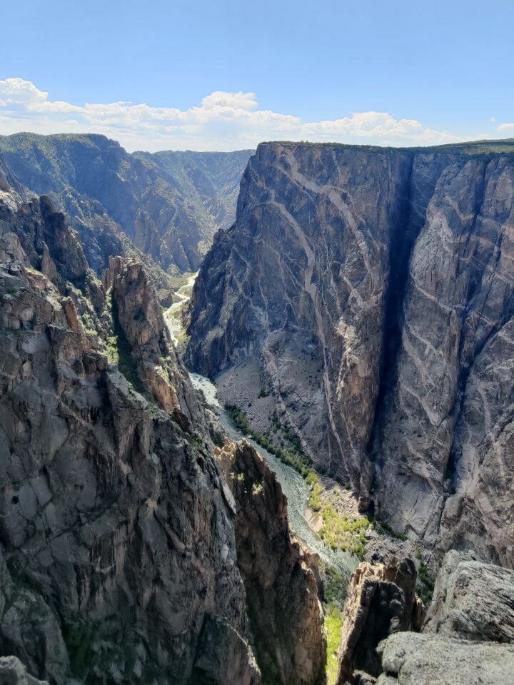
Given that our group had somewhat limited mobility, the mode of tourism here was car-based: we drove around the southern rim of the canyon, stopping at regular viewpoints, occasionally strolling some distance to reach a better vantage point (the longest was a few km from the road). This seems to be the default way to see the canyon anyway — it is possible to hike down to the valley floor, but there are no maintained trails and you need a special pass to do it. After spending the day there and soaking up the views, we returned to beautiful Montrose to spend the night.
To be continued in part two!